How Sam Worley Would Fix Atlanta

How I’d Fix Atlanta — Let Water In, Let Longtime Residents Stay Put
Sam Worley
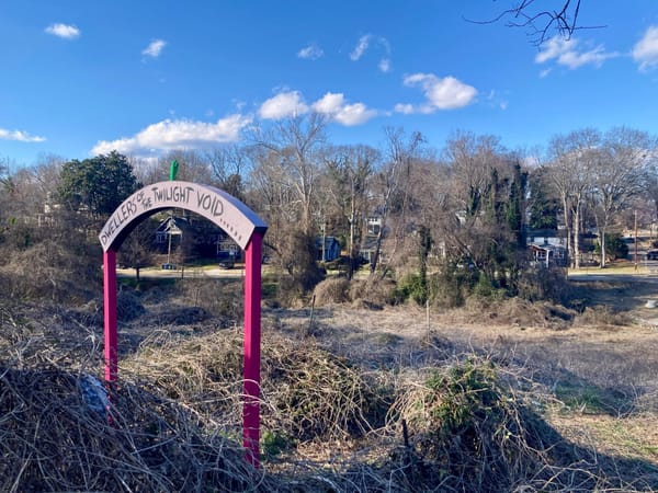
A decade ago, a design firm hired to suggest solutions to persistent flooding in Southeast Atlanta pitched one from left field: Why not turn the old Atlanta-Fulton County Stadium site into a public park? It would have a pond to absorb stormwater, a walking trail, and, as a centerpiece, the celebrated piece of wall that marks the spot where Hank Aaron broke Babe Ruth’s home run record in 1974. The wall is there now, rising like the 2001 monolith amid the asphalt expanse of, well, a stadium-shaped parking lot. Perhaps it deserves a better home.
And it’s not like Summerhill, where the former stadium is located, wants for parking. There’s a lot north and another northeast. Directly east, there’s a Publix parking lot that, while relatively new, is already famous, owing to the fact that it collapsed in 2023 just a few months after the supermarket opened. Not that this needed to be a major inconvenience, as there is another lot directly south that’s usually empty. North of the stadium, Georgia State recently added a 900-vehicle garage of its own.
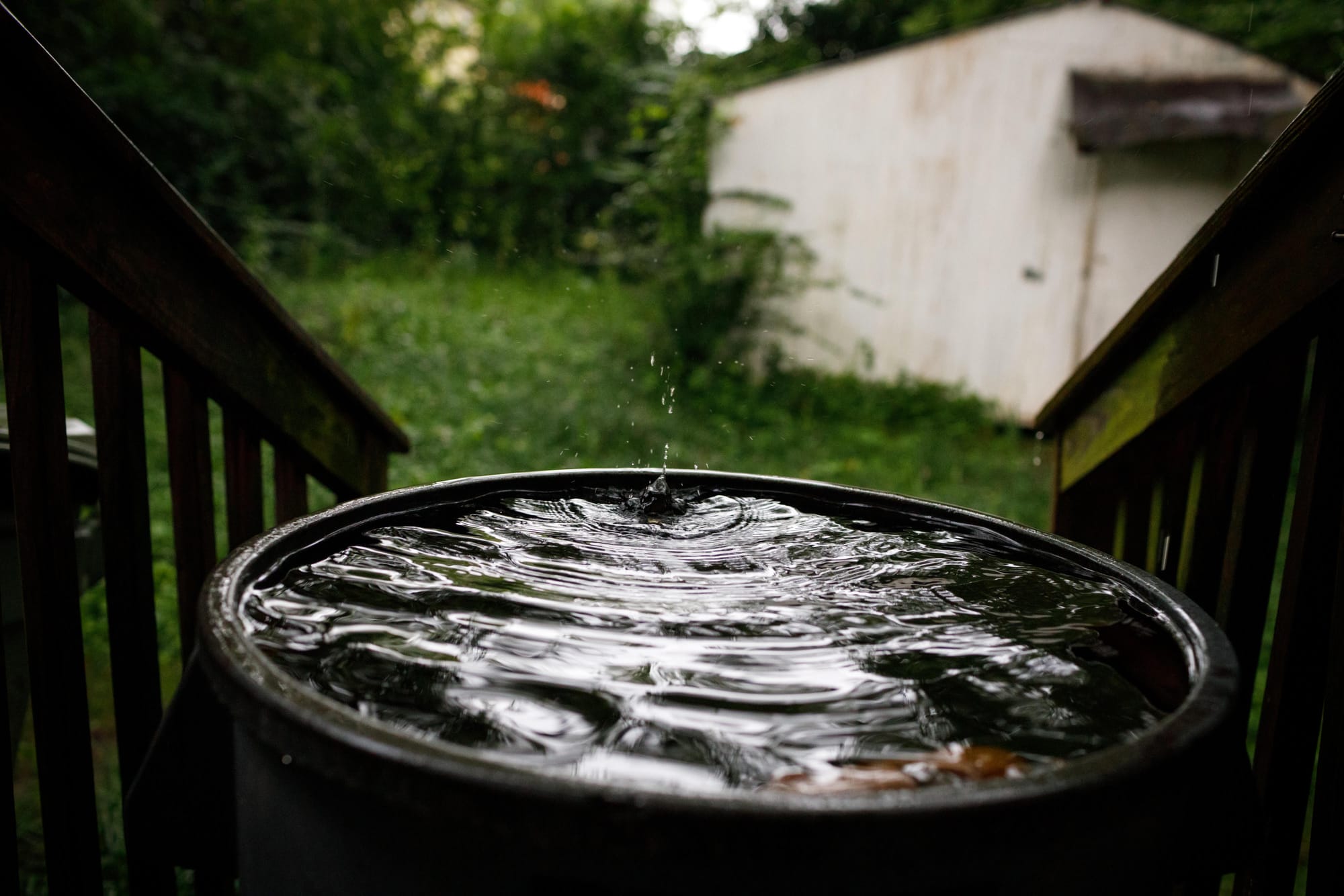
While undoubtedly invigorating for ATL's insatiable car-storage enthusiasts, all this pavement does no good for surrounding Summerhill, Peoplestown, and Mechanicsville—all neighborhoods dogged by flooding. Dirt, grass, trees: they all absorb rainwater. Impermeable surfaces like asphalt do not, and send it instead seeping downward to where it can be absorbed, whether that’s the nearest sewer drain, the nearest ditch, or the nearest basement.
The problem came to a head in 2012, when flooding devastated the historically Black neighborhood of Peoplestown, causing Kasim Reed’s administration to spring to action. The funky, bumpy streets there now? That’s permeable pavement, designed to let water trickle through the cracks into the soil below—an important element of the Southeast Atlanta Green Infrastructure Initiative, which was launched in response to the deluge.
Atlanta did end up planning a stormwater retention park. But rather than sacrifice valuable parking real estate, it used threats of eminent domain to compel the sale of some 30 Peoplestown homes, igniting a decade-long fight that helped sink Reed’s 2021 mayoral comeback bid.
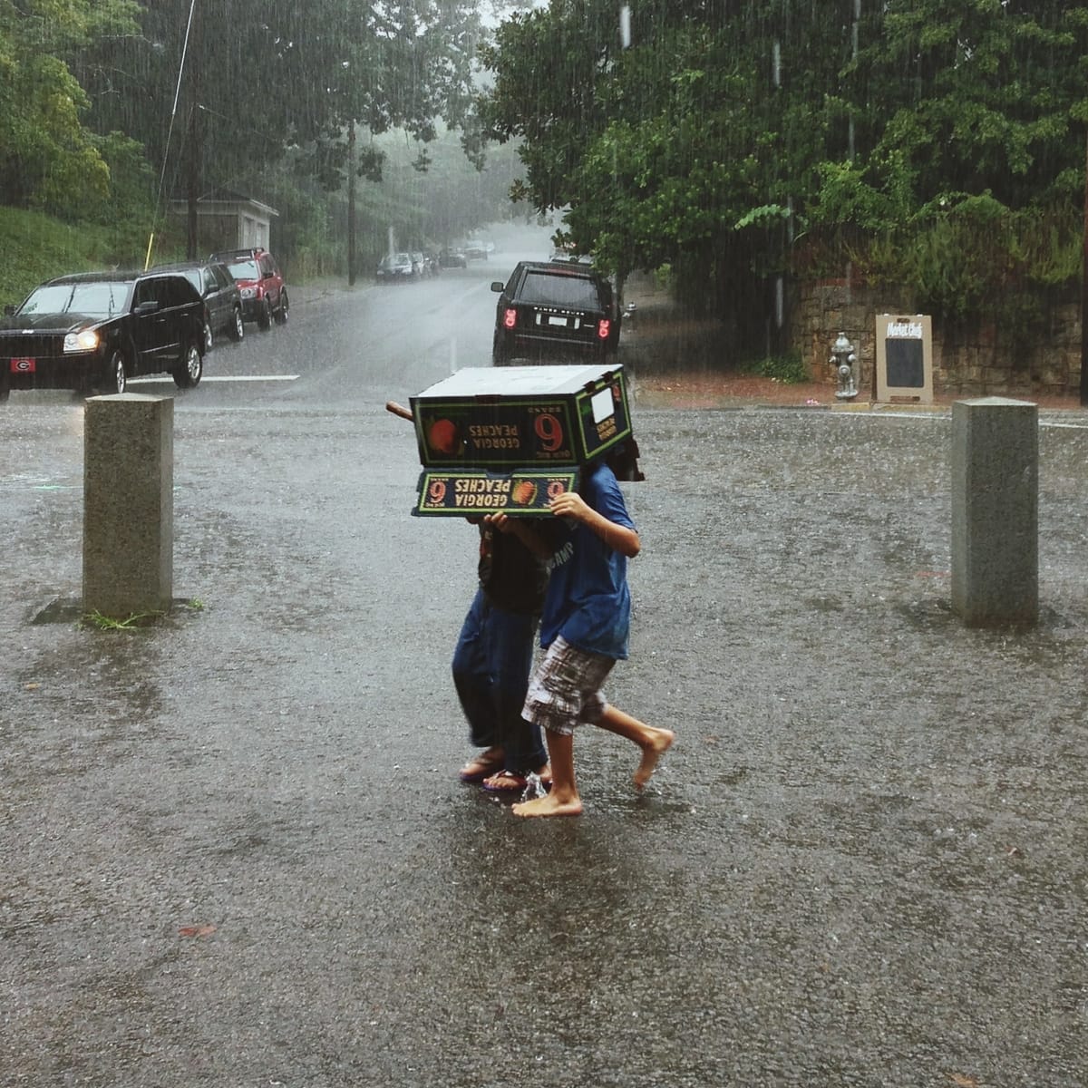
The debacle speaks to the thorny politics of water and property in a city where both are increasingly in contact: As the effects of climate change become more pronounced, Atlanta is getting swamped. Fulton County recorded four floods between 1975 and 1984. Between 2005 and 2012, it had 16. Last year, Hurricane Helene—whose effects were intensified by global warming—brought more rain in a three-day period than the city had seen in a century. Some rain events have been tragedies, like a 2009 storm that killed 10 people. But even the subtragic events are a major pain—fucking up basements, rendering streets impassable.
The wetter, hotter future is here. Now, what do we do about it?
Good news! The answer is already known: It’s green infrastructure, like the kind you see in Peoplestown today. The bad news is that this is Atlanta, whose recent history shows that urban greening projects—most famously, the Beltline—are terrific engines of gentrification, displacing vulnerable residents and replacing them with whiter, richer arrivistes. We need ways to let the water in, but we need to keep the people here, too.

Localized flooding, and the disgusting mess it entails, goes back to the beginnings of the city. In the 1870s, Atlanta built a sewage line to move wastewater out of the central business district. It ran south of downtown to Intrenchment Creek and, eventually, the South River—the waterway that simply can’t catch a break. Both blockage and heavy rains would cause the Loyd Street sewer—which carried “the most dread diseases known to medical science,” according to the Atlanta Constitution—to spill onto the street. (Losing the baggage, Loyd Street was renamed Central Avenue in 1900.) Another notorious line, the Connally Street sewer, ran a few blocks to the east, occasionally overflowing into the Black neighborhood of Summerhill.
Summerhill and its environs were eventually the target of the kinds of asphalt-intensive urban renewal projects that cleaved or altogether erased Black neighborhoods: Interstate 20 (late 1950s), the Downtown Connector (1962), Atlanta-Fulton County Stadium (1966). Stadiums in other cities tended to be “nestled, if not shoehorned, into the urban fabric,” according to the authors of the 2022 paper “Stadiums, Race, and Water Infrastructure: Flooding on Atlanta’s Southside.” (One lovely example? Wrigley Field.)
But the gray plains of parking that surround Summerhill’s sports arenas indicated that they were less for neighborhood residents than for the Cobb County crowd. In 1966, the first full year that the Braves’ stadium was in operation, 81% of attendees drove in, almost half from at least 10 miles away. Due to these types of historic injustices and others—like the fact that they tend to be located in lower-lying areas—urban Black communities in the U.S. are already at higher risk for flooding. Climate change will only aggravate the problem: By 2050, Black neighborhoods across the South—urban and rural—will see at least a 20% increase in flood risk.
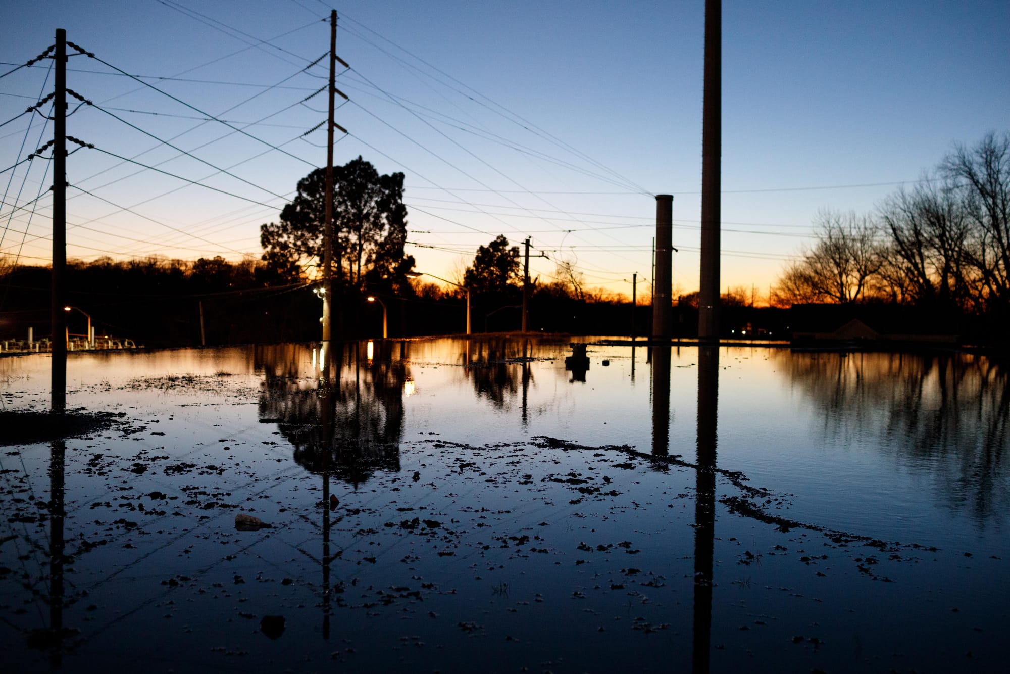
Of course, there's another aggravating factor locally: the decrepitude of ATL’s subterranean water infrastructure, which can’t handle major floods. Hell, in some neighborhoods it can hardly even handle a moderate rainstorm. Neither is this system up to the basic task of delivering drinking water to area residents without losing a few billion gallons along the way. You might also recall a few, ahem, water-delivery issues suffered by the City of Atlanta last summer. Meanwhile, DeKalb County has scores of its own issues as well.
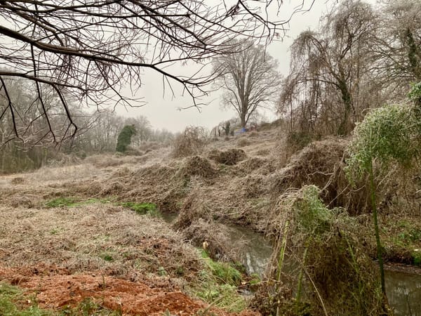
What to do about it? One potential solution lives in Vine City, where 60 residences were razed following a 2002 deluge. Today, the neighborhood is home to Rodney Cook Sr. Park, which opened in 2021 on the 16-acre footprint where those houses used to be. To families living nearby, Cook Park is just another—albeit strikingly lovely—green space with a pond in the center.
But the whole place was engineered to mitigate flooding, as Cory Rayburn, who helped design it, explained to me. Formerly a watershed manager for the City of Atlanta, Rayburn now works for a construction and consulting company called Jacobs. Starting with the pond, the entire park is built to fill up with water. Planters along the outer edges capture street runoff; underneath the Great Lawn, three feet of sandy soil absorb rainwater, filtering it before it seeps back into the pond. An underground cistern stores yet more water, releasing it into the pond automatically when surface levels dip.
“As soon as we filled the water up in that park and planted all those wetland plants and everything, I went out there one morning and saw like 400 small birds, and it clicked: This is what this community really needs,” Rayburn told me. “Yes, they don’t want to be flooded every time it rains. But just bringing nature back into some of these urban communities that just need a little bit of help and a little bit of love is what’s important.”
In October 2023, after heavy rains swamped many westside communities, the Trust for Public Land’s George Dusenbury authored an AJC op-ed celebrating the fortunes of Vine City. TPL had collaborated with the City of Atlanta to design Cook Park, which “flooded—capturing at least 8 million gallons of stormwater—so that the surrounding community was kept safe and relatively dry,” Dusenbury wrote. “That was what was supposed to happen.”
Cook Park, Dusenbury mentioned, had built on the lessons of another public space on the other side of town: Historic Fourth Ward Park, whose Clear Creek Basin—the big pond right there in the middle—is the centerpiece of a system designed to absorb millions of gallons of stormwater.
But the park, and the area surrounding it, offers a different kind of lesson, too. Its installation has tracked with the massive gentrification of that part of town, where the Black share of the population declined from 76% in 2000 to 38% in 2017, while the non-Hispanic white population grew by over 280%. (That’s according to Dan Immergluck’s must-read Red Hot City: Housing, Race and Exclusion in Twenty-First-Century Atlanta.) The Beltline has been our most searing example of the dangers of “green gentrification.” That is, when incontrovertibly beautiful, environmentally friendly urban amenities increase housing costs and property taxes, pushing out lower-income residents.
The lessons of Old Fourth Ward might have been on the minds of some Peoplestown residents as they pushed back against a new adaptive reuse project set to open this year in their own neighborhood: Terminal South, as it’s called, will take two of the most potent magic ingredients of O4W gentrification—Beltline adjacency, a food hall—and import them into a neighborhood where inhabitants are already facing pressures.
The activists are right: It’s not enough to have fancy sandwiches and nice paths, just like it’s not enough to install infrastructure that will prevent flooding. These need to be paired with meaningful actions by the City that benefit existing residents, not just developers and fans of Jeni’s Splendid Ice Cream. Immergluck, for instance, has argued that—in retrospect!—Atlanta’s leaders should have foreseen the rampant speculation that awaited the Beltline, and bought up properties near the trail to preserve as affordable housing.
It’s too late for Old Fourth Ward. But Atlanta in general could stand to apply a little forethought to the projects it supports. Residents in places like Peoplestown can’t be expected to ditch their neighborhoods right when the City is devoting resources to making them nice places to live—installing not just sewer lines but curbside plantings, not just sports stadiums but public parks of which every family can partake.
Put a little more urgently: It’s crucial that urban greening projects include meaningful—not just rhetorical—commitments to racial and economic justice. Green infrastructure, a critical component of climate adaptation, cannot be another amenity enjoyed only by the rich.
Otherwise, what? A few years ago, before the situation was resolved—the City ended up paying out more than $6 million to settle the Peoplestown dispute, and began making plans for that long-awaited park—a petition from the Housing Justice League plainly expressed the fears circulating in the area: “The installation of the park and pond would be another step in forcing Black residents from their homes to facilitate gentrification and profitable private development.”
These folks know the score. Black Atlantans, like all Atlantans, aren’t opposed to neighborhoods that stay dry during a storm. They just want to be able to live in those neighborhoods, too.
Sam Worley is an editor and a writer whose work has appeared in New York magazine, Garden & Gun, Grist, and elsewhere.
How I'd Fix Atlanta is an essay series by ATLiens for ATL. In each of these pieces, a thoughtful human argues for one way we could make our city better. Sometimes the ideas are serious. Other times? A little more lighthearted. From infrastructure to food trucks, public transit to wildflowers, nothing is off limits.
How I’d Fix Atlanta was created by Austin L. Ray. It's a free newsletter sent on a Thursday of most months. It's also an annual zine that costs money. Sometimes it’s a performance on a stage. Other times, it’s a fundraiser. It's always a bunch of stickers. Occasionally it's featured on a podcast or a legendary WABE show. How I’d Fix Atlanta is large, it contains multitudes.
Each writer is paid $800 for their essay. Wanna help support the series? Reply to this email to learn more about sponsorship opportunities.